Jump to navigationJump to search
(newest | oldest) View (newer 10 | older 10) (10 | 20 | 50 | 100 | 250 | 500)
Size of this PNG preview of this SVG file: 800 × 431 pixels. Other resolutions: 320 × 173 pixels | 640 × 345 pixels | 1,024 × 552 pixels | 1,280 × 690 pixels | 2,560 × 1,381 pixels | 1,181 × 637 pixels.
Original file (SVG file, nominally 1,181 × 637 pixels, file size: 2.59 MB)
| This is a file from the Wikimedia Commons. Information from its description page there is shown below. Commons is a freely licensed media file repository. You can help. |
Summary
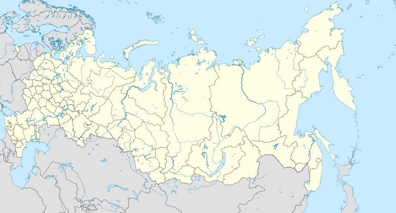
| Description | English: Location map of Russia. EquiDistantConicProjection : Central parallel : * N: 54.0° N Central meridian : * E: 100.0° E Standard parallels: * 1: 49.0° N* 2: 59.0° N Made with Natural Earth. Free vector and raster map data @ naturalearthdata.com. Notice Russia other countries disputed areas international border disputed border Because the southern Kuril islands are claimed by Russia and Japan, they are shown as disputed. For more information about this see: en:Kuril Islands dispute. These islands are since 1945 under the jurisdiction of the Russian Federation. Русский: Схематическая карта России с границами субъектов федерации и водными ресурсами. Коническая равнопромежуточная проекция с центром по 54-й параллели северной широты и 100-му меридиану восточной долготы. На основе данных с сайта Natural Earth (www.naturalearthdata.com). Особенности:
Условные обозначения: Россия другие страны спорные территории общепризнанные границы спорные границы |
| Date | |
| Source | Own work |
| Author | Uwe Dedering |
| Other versions |

Licensing
I, the copyright holder of this work, hereby publish it under the following license:
| This file is licensed under the Creative Commons Attribution-Share Alike 3.0 Unported license. | |
|
File history
Click on a date/time to view the file as it appeared at that time.
(newest | oldest) View (newer 10 | older 10) (10 | 20 | 50 | 100 | 250 | 500)| Date/Time | Thumbnail | Dimensions | User | Comment | |
|---|---|---|---|---|---|
| current | 10:33, 27 January 2016 | 1,181 × 637 (2.59 MB) | Denniss | Reverted to version as of 11:36, 11 July 2015 (UTC) | |
| 09:19, 27 January 2016 | 1,201 × 637 (3.5 MB) | BasilLeaf | Crimea part of the Russia Federation according to the Russian Government. Wikipedia shall remain neutral in all affairs and locator maps of each individual country shall comply with that country's internal rules | ||
| 11:36, 11 July 2015 | 1,181 × 637 (2.59 MB) | Denniss | Reverted to version as of 14:44, 17 August 2014 | ||
| 07:24, 11 July 2015 | 1,201 × 637 (3.5 MB) | Doni Vëntersenz | Crimea is now a part of Russian Federation. | ||
| 14:44, 17 August 2014 | 1,181 × 637 (2.59 MB) | Denniss | Reverted to version as of 20:53, 25 April 2014 - stop revert warring, it's clearly states this map is showing Kuril islands as disputed | ||
| 14:01, 17 August 2014 | 1,181 × 637 (2.86 MB) | Nicolay Sidorov | Reverted to version as of 23:14, 6 July 2012 - спорный статус Курильских островов | ||
| 20:53, 25 April 2014 | 1,181 × 637 (2.59 MB) | Denniss | Reverted to version as of 16:09, 11 April 2014 | ||
| 19:38, 25 April 2014 | 1,201 × 637 (3.5 MB) | Логаритам | Reverted to version as of 15:44, 11 April 2014 and what? | ||
| 16:09, 11 April 2014 | 1,181 × 637 (2.59 MB) | NordNordWest | Reverted to version as of 15:33, 11 April 2014; please don't destroy all templates which are using this map | ||
| 15:44, 11 April 2014 | 1,201 × 637 (3.5 MB) | NoviSadGrad |
File usage
The following pages on the English Wikipedia use this file (pages on other projects are not listed):
- User:Chickstarr404/Gather lists/16000 – "A Russian Journal of Lady Londonderry 1836-37"
- User:PavelYurasov/Sladkovo
- Wikipedia:Graphics Lab/Map workshop/Archive/Apr 2012
- Wikipedia:Graphics Lab/Map workshop/Archive/Dec 2010
- Wikipedia:Graphics Lab/Map workshop/Archive/May 2013
- Wikipedia:Village pump (technical)/Archive 98
- Module talk:Location map/Archive 6
Global file usage
The following other wikis use this file:
- Usage on af.wikipedia.org
- Oimjakon
- Moskouse Kremlin
- Drie-eenheid-klooster van Sint Sergius
- Rooiplein
- Kolomenskoje
- Nowodewitsji-klooster
- Wit Monumente van Wladimir en Soezdal
- Ferapontof-klooster
- Vulkane van Kamtsjatka
- Kazanse Kremlin
- Goue Berge van Altai
- Solowjetski-klooster
- Sjabloon:Liggingkaart Rusland
- Tsjeko-meer
- Internasionale Lughawe Wladiwostok
- Bulgar
- Poetoranaplato
- Usage on als.wikipedia.org
- Moskau
- Sankt Petersburg
- Vorlage:Positionskarte Russland
- Petropawlowsk-Kamtschatski
- Vorlage:Positionskarte Russland Europäischer Teil
- Usage on ar.wikipedia.org
- بتروبافلوفسك (كامشاتكا)
- قالب:خريطة مواقع روسيا
- محطة بيليبينو للطاقة النووية
- وحدة:Location map/data/Russia1
- وحدة:Location map/data/Russia1/شرح
- جزيرة كيزهي
- أقافيا ليكوفا
- الطاقة النووية في روسيا
- Usage on ast.wikipedia.org
- Arkhanguelsk
- Moscú
- Taganrog
- Ríu Lena
- Mar de Xapón
- Kolomna
- Siberia
- San Petersburgu
- Imperiu Rusu
- Kaliningráu
- Podolsk
- Alikovo
- Llagu Baikal
- Islla de Sakhalin
- Cabu Dezhneva
- Cabu Cheliuskin
- Islles Kuriles
- Península de Kola
- Azov
- Islla de Kotlin
View more global usage of this file.